Land Use, Landmarks and Housing
The Land Use, Landmarks, and Housing Committee oversees local land use, zoning, and development actions that undergo public review through the City’s Uniform Land Use Review Procedures (ULURP), as well as Special Permit and Variance applications. The committee also engages with matters concerning private and public housing policy, development, stabilization, and mandatory inclusionary housing.
In recent years, the committee has favored increased housing production in the district by recommending the passage of the Gowanus Neighborhood Plan Rezoning, City of Yes for Housing Opportunity, and the Brooklyn Marine Terminal, with an emphasis on densifying our opportunity-rich district, increasing transit-oriented development, and increasing the depth and distribution of affordable housing units.
Additionally, the committee assesses Landmarks Preservation Commission (LPC) alteration applications within historic districts or for individually landmarked buildings. The district is home to three distinct historic districts: Carroll Gardens, Cobble Hill, and Park Slope (Park Slope is the largest in NYC as of its second extension in 2016).
Meets: Fourth Thursday of the month
View Calendar for location and agenda.
Committee Chair: David Briggs
Click here for the committee roster.
If this or any other committee interests you, consider applying for public membership.
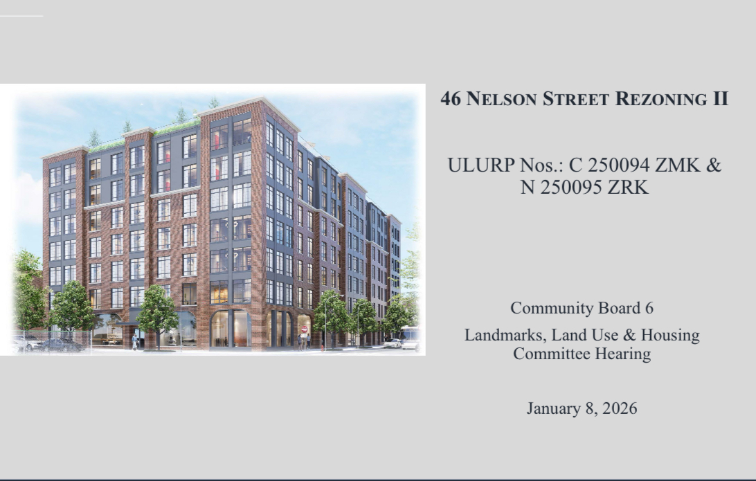
Brooklyn Marine Terminal (BMT)
Draft Scope of Work for Environmental Review (public comment period through 12/11/2025)
CB6 Letters, Statements, Final Vision Plan
BMT Materials
Recent Land Use Presentations
Bungalow Projects (9.4.25): Bulk Variance for a Film Studio in Red Hook
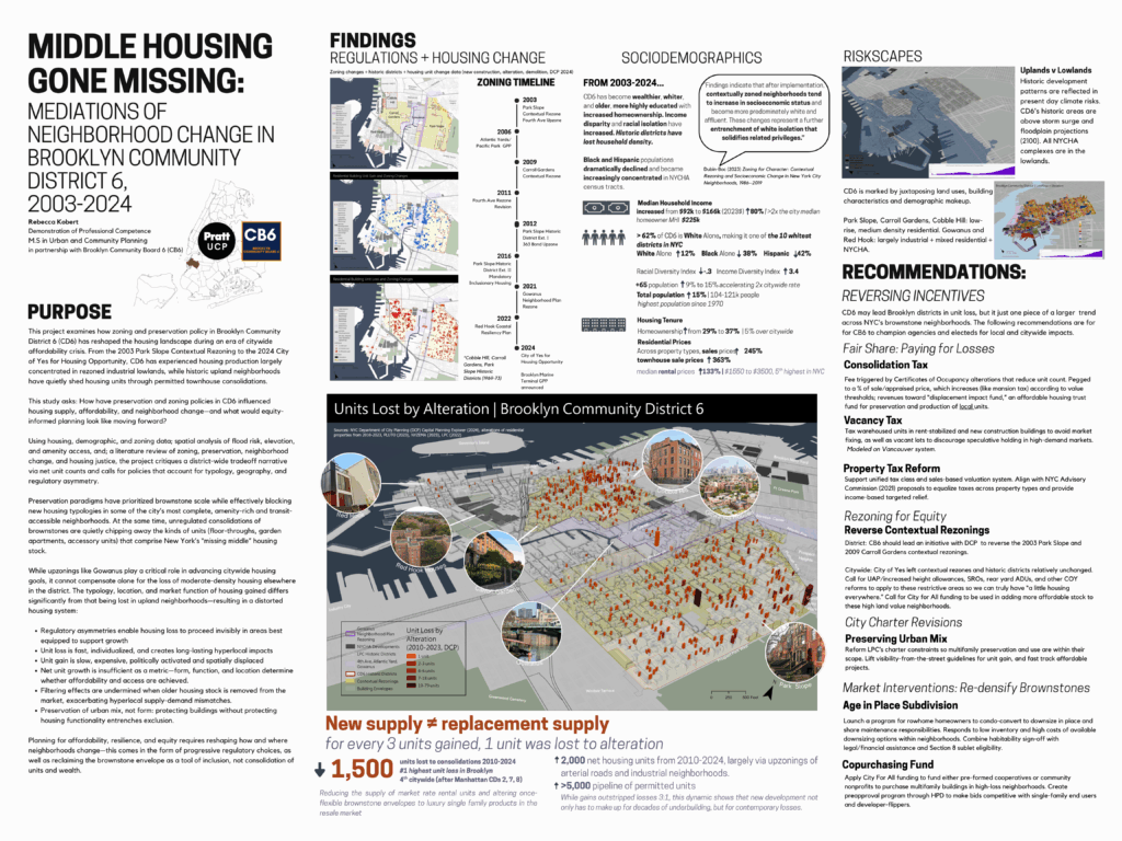
Pratt Urban and Community Planning Masters Capstone on Housing Loss in CB6- Rebecca Kobert (5.9.25)
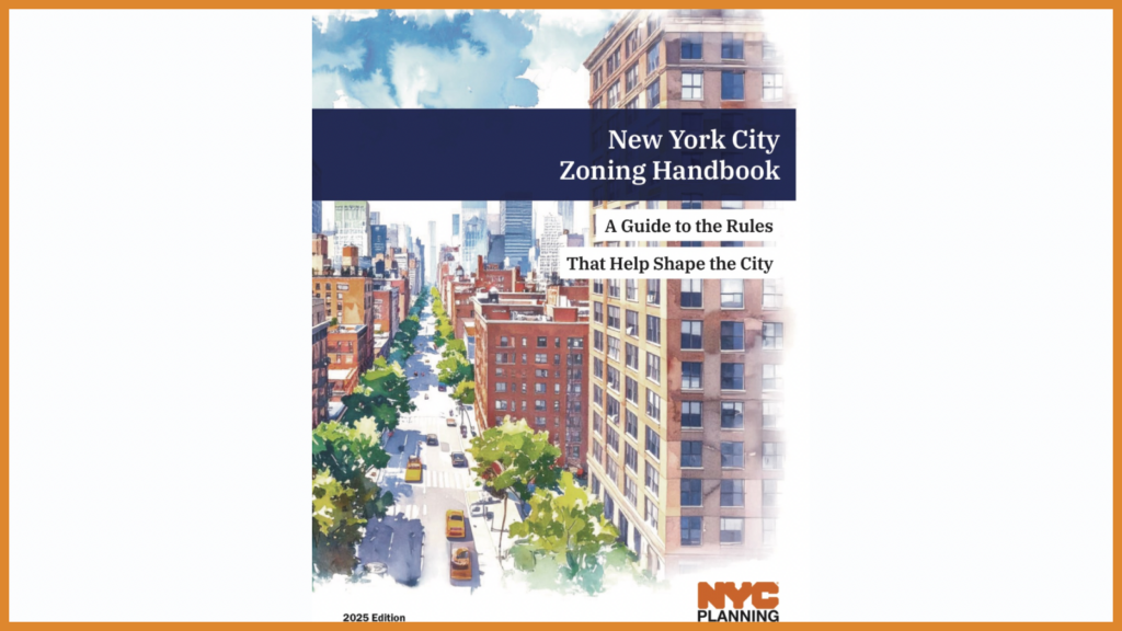
Zoning Handbook
Resources
Gowanus Rezoning Commitment Tracker
Housing Preservation and Development (HPD), Affordable Housing Page
Landmarks applicant information
Permit Application Finder – an interactive web map that allows users to geographically view where LPC permits have been filled and issued, along with details of what the work entails.
Permit Application Search – an enhanced tool which now provides users with the ability to search for applications by community district and work type.
DOB Annual Parapet Inspection FAQ